About Coast Map Labs
WHERE DATA
MEETS DISCOVERY
For over two decades, Coast Map Labs has been at the intersection of geoscience rigor and human meaning — delivering spatial intelligence that transforms how organizations understand and act on their world.
Our Story
BUILT ON
SCIENCE & CRAFT
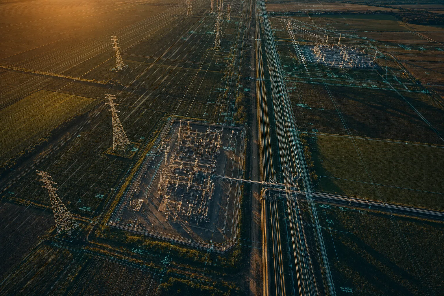
Coast Map Labs was founded on a simple but powerful conviction: that geoscience — the science of understanding Earth's physical systems through spatial data — has the power to solve humanity's most pressing challenges.
From our earliest work in utility infrastructure mapping to our current practice spanning precision agriculture, trail design, and historical cartography, we have always believed that the best geoscience is both technically rigorous and deeply human.
Our team brings together geographers, data scientists, cartographers, engineers, and program managers — united by a shared passion for the planet and a commitment to excellence in everything we produce.
Our Values
WHAT WE STAND FOR
Precision
We hold ourselves to the highest standards of spatial accuracy. Every dataset, every analysis, every map we produce undergoes rigorous quality assurance. Precision is not a feature — it is our foundation.
Breadth
Geoscience is not a narrow discipline. We embrace the full spectrum — from the molecular scale of soil chemistry to the planetary scale of satellite imagery. This breadth enables us to solve problems others cannot.
Purpose
We believe geospatial intelligence should serve humanity. Whether mapping sacred lands, protecting watersheds, or optimizing food production, our work is grounded in a commitment to meaningful outcomes.
Excellence
We do not accept mediocrity in our products or our service. Every client engagement, every map, every analysis reflects our commitment to excellence — delivered with the rigor of science and the care of craft.
Areas of Expertise
DEEP EXPERTISE
ACROSS DOMAINS
Our team's expertise spans the full geoscience value chain — from raw data acquisition through analysis, visualization, and stakeholder communication. We invest continuously in staying at the frontier of geospatial technology.
Our Journey
TWO DECADES OF
DISCOVERY
Founded with a focus on utility GIS consulting
Expanded into precision agriculture and environmental mapping
Launched the Holy Lands historical cartography collection
Introduced coffee and wine region mapping product lines
Expanded enterprise GIS integration practice
Launched trail design systems consulting practice
Serving clients across 40+ countries on 6 continents
Work With Us
LET'S BUILD SOMETHING
EXTRAORDINARY
Whether you need a consulting partner, a custom map product, or a full enterprise GIS program — we're ready to bring our expertise to your challenge.
Get in TouchWE VALUE YOUR PRIVACY
We use cookies and similar technologies to operate this website, remember your preferences, and — with your consent — collect anonymized analytics to improve our content. We never sell your data. Privacy Policy